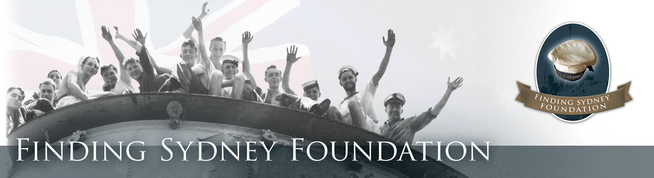
Finding HMAS Sydney (II)
Summary
The following is an excerpt from the Executive Summary of the Final Report.
History was made at (Australian Western Summer Time) on when the wreck of HMAS Sydney (II) was found in water depths ranging from 2220m to 2480m across the debris site at latitude 26° 14’ 45” S and longitude 111° 12’ 55” E, 112 nautical miles (207 km) west of Steep Point, Western Australia, sixty six and one half years after her disappearance.
This was clearly an outstanding achievement and one led by a small group of ordinary Australians, the Finding Sydney Foundation (FSF), contracting with world leaders in the management and execution of deep water search operations and technology.
Sydney sank with all hands following a battle with the German armed merchant raider HSK Kormoran on . The Kormoran was irreparably damaged and later scuttled. Most of her crew survived.
The search was principally funded by the Australian Government together with large contributions by the Western Australian and New South Wales Governments, individuals and the private sector and by many smaller donations from all over Australia.
The deep-tow side scan sonar search commenced on when the survey vessel chartered by the Finding Sydney Foundation, SV Geosounder, sailed from Geraldton, Western Australia. Following some delays due to weather and equipment malfunctions, the wreck of Kormoran was located at on in 2560 metres of water at latitude 26° 06’ 32” S and longitude 111° 04’ 21” E. Using Kormoran as the datum, the search for Sydney was further refined. Four days later the Sydney was found.
Geosounder was equipped with a remotely operated vehicle (ROV) capable of conducting still and video photography at depths of up to 3000 metres, well within the depths of both wrecks. As sufficient charter time and budget funds remained, the Geosounder was remobilised for ROV operations and photographic surveys. All works were completed and the Geosounder demobilised at Geraldton on .
Records obtained prior to and during the search execution are provided within and consist of:
- Research works completed by the Search Director including supporting leeway analyses undertaken by the Bureau of Meteorology and CSIRO;
- Offshore search logs comprising the Search Director’s Search Diary; Daily Operations Search Reports and Survey, ROV, Search Director, Vessel Master and Survey Chief Logs;
- Survey and ROV results including acoustic data and 1435 still photographs and approximately 60 hours of video records; and
- Vessel and equipment specifications, geodetic parameters and offshore personnel and HSE records.
This information is provided in the appendices of this report and complies with the Commonwealth of Australia’s Funding Agreement.
It provides a background on the remarkable events, organisation and people who achieved this great feat in Australia’s maritime history.